
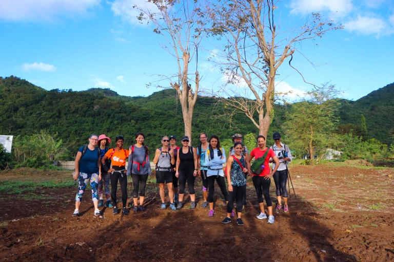
 Last week, we went to Mount Paliparan, located at Barangay Cuyambay, Tanay, Rizal. We left Metro Manila at 5:30 a.m. and arrived at the trailhead just a few minutes shy of 7:00 a.m. There, we registered ourselves at the Barangay Hall, had a short briefing on what to expect, then set off with our assigned guides.
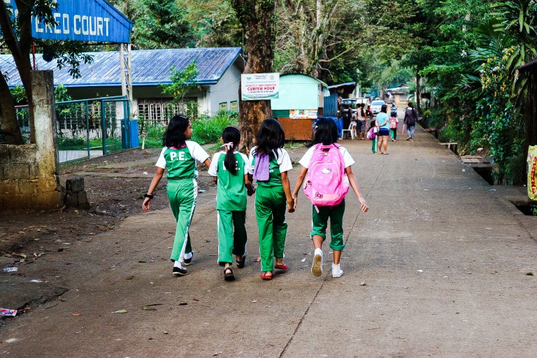
 Mount Paliparan was named such by the people of the local Dumagat tribe because it was a popular take-off point for flying kites. (“Paliparan” is the Filipino word for “airport”.) From the Tonghayan rock formation, you can spot the Touy village of the Dumagat tribe. The mountain was only opened for hiking activities in April 2016, which probably explains why some parts of the trail seem not well established yet.
CONQUERING THE MOUNTAIN
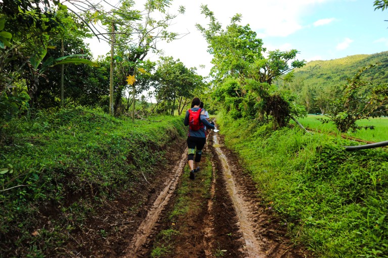
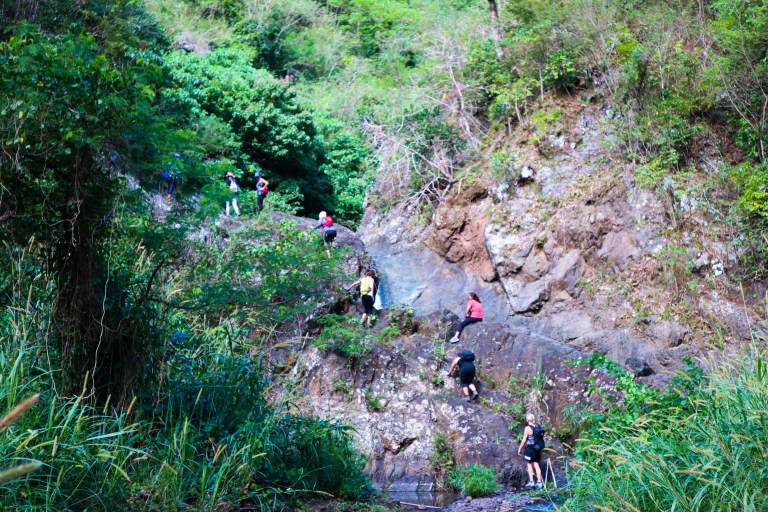
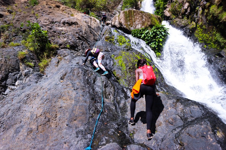
The initial part of the Mount Paliparan trail is through rice fields and is fairly flat. It was only when we arrived at the foot of the mountain where we started dancing to the music. On the first major assault to the Tonghayan rock formation, I learned my first set of hiking lessons: Always prepare for a hike both physically and mentally. Keep a slow but steady pace especially at the beginning because you want to save as much energy as possible. Never judge a mountain by the last one that you hiked.
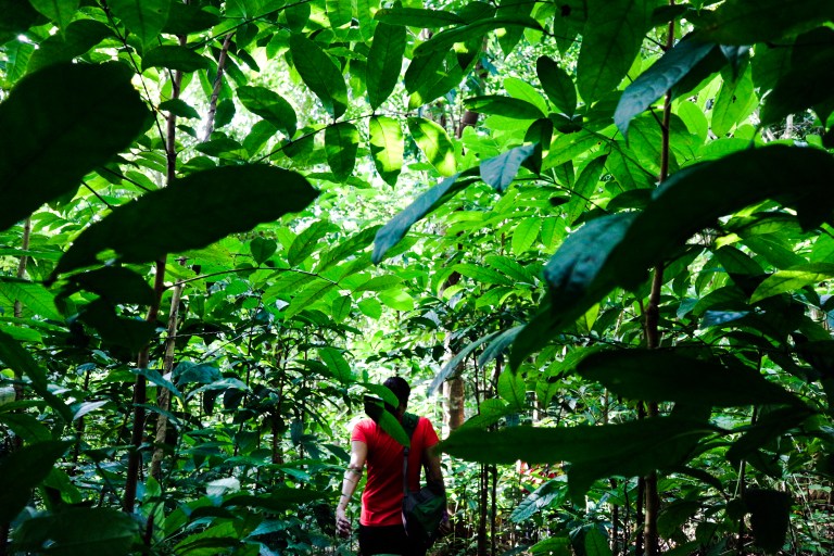
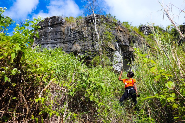
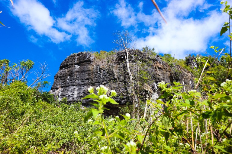
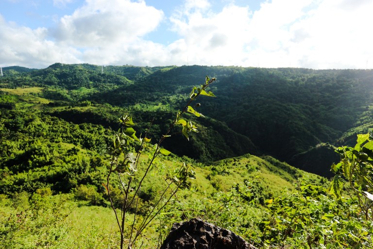
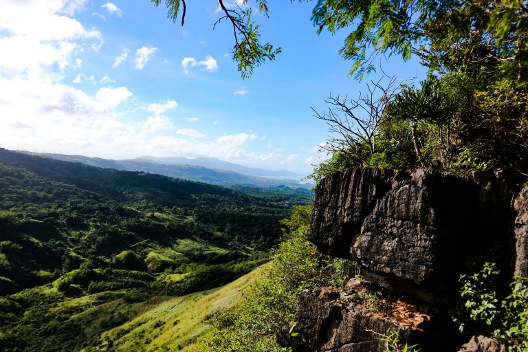
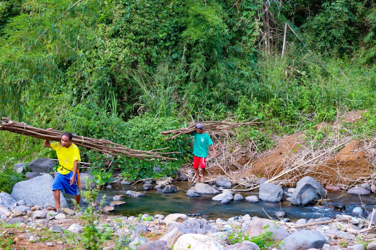
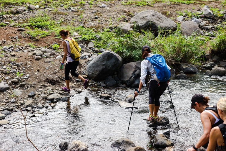
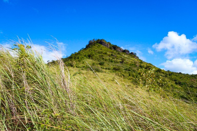
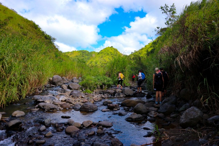
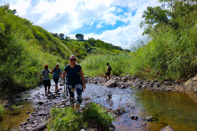
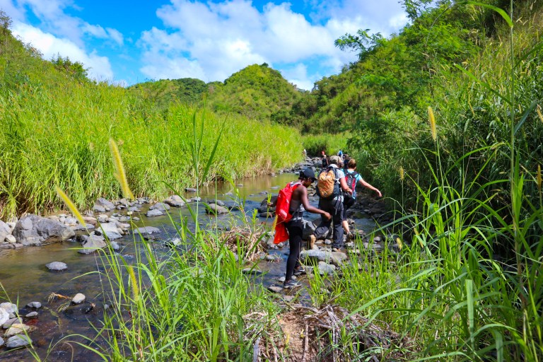
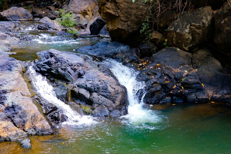
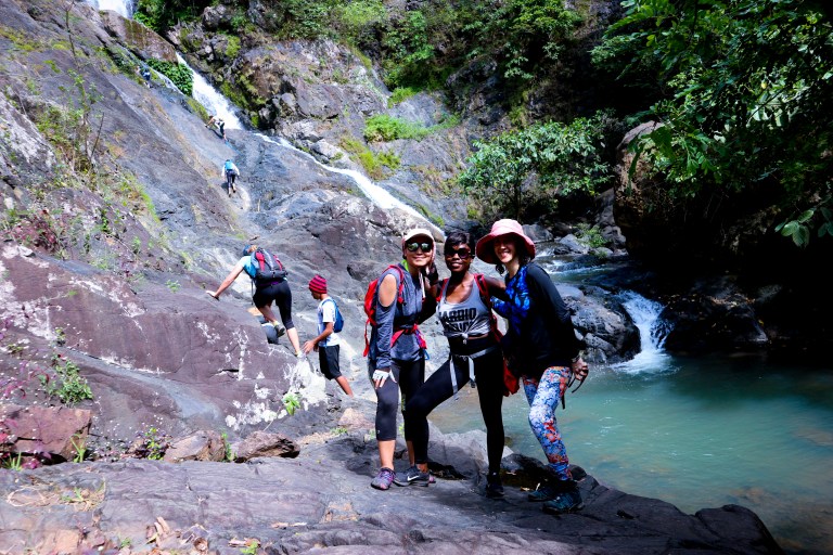
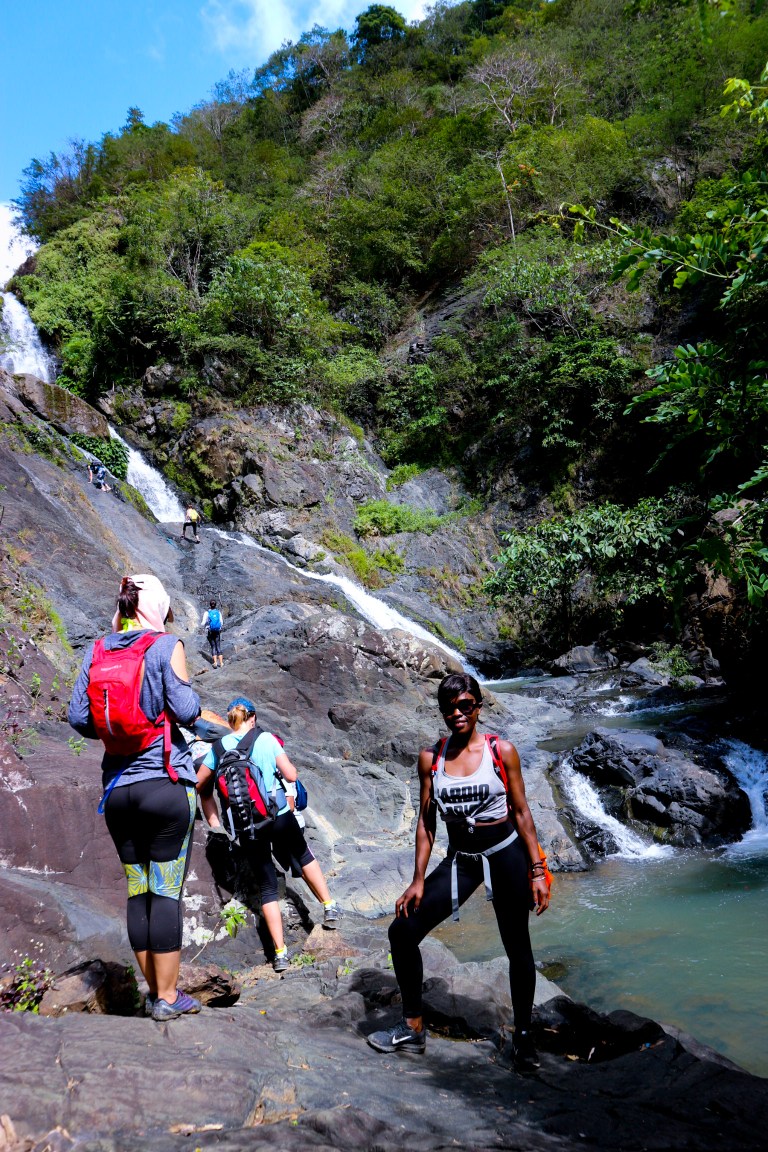
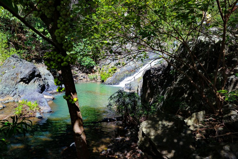
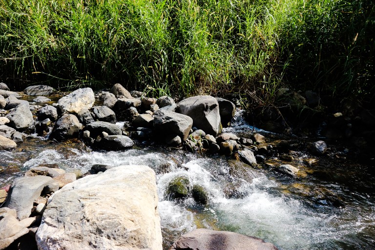
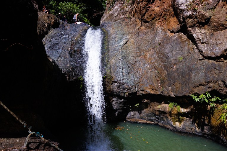
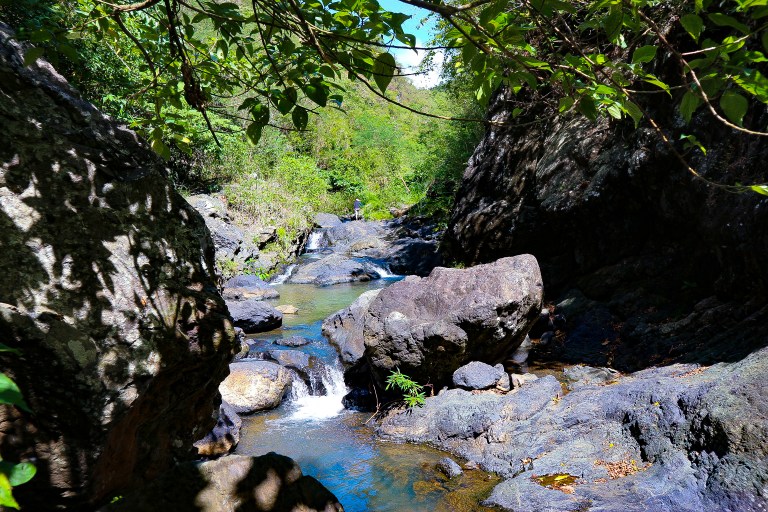
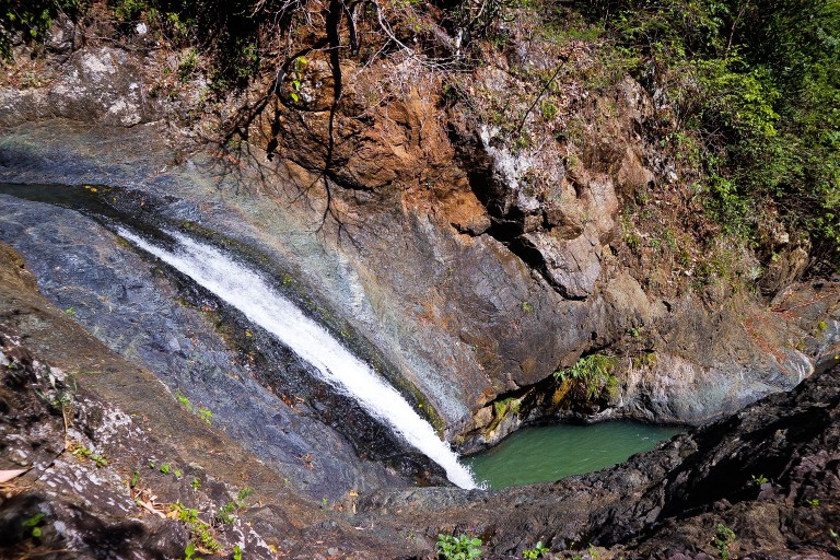
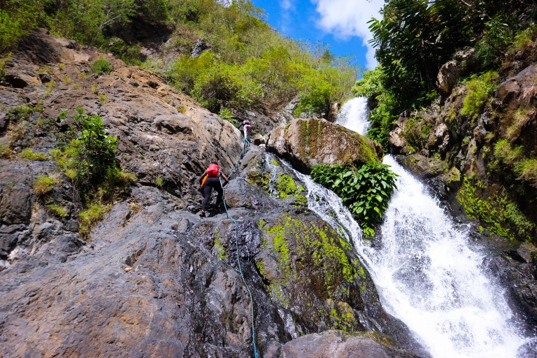
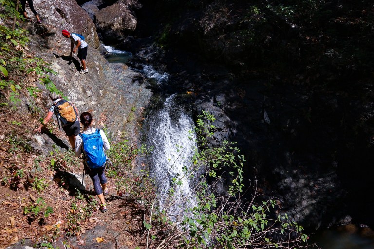
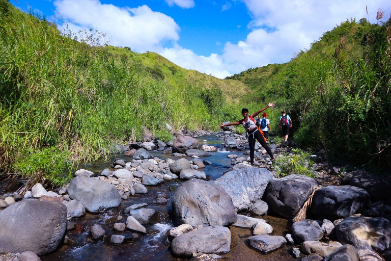
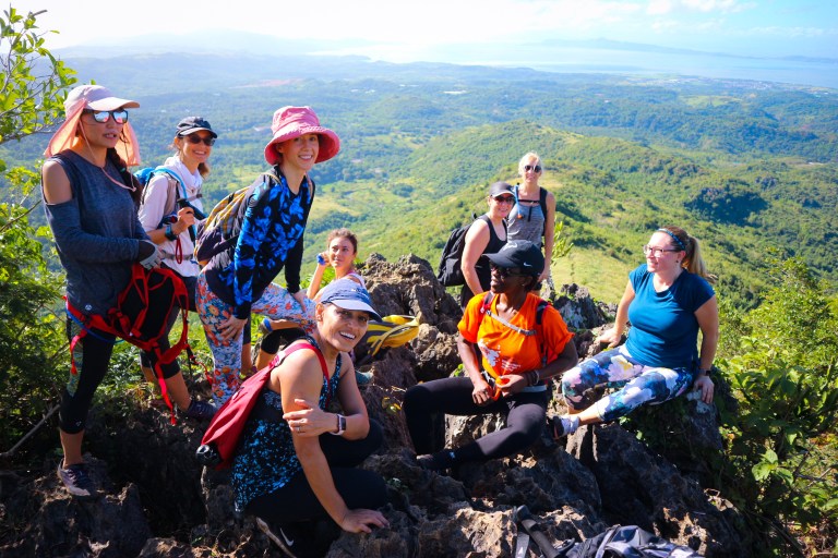 Mount Paliparan features breathtaking landscapes, picturesque views of Laguna De Bay, rolling grasslands, rocky river streams trails, and the majestic Tungtong Falls in all its glory.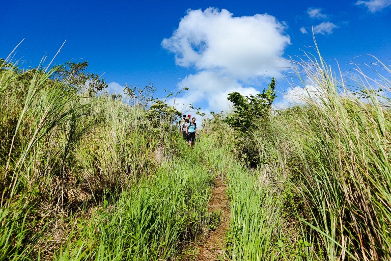
 Laura.

